Now Scheduling

Thermal Drone Services

Responsive aerial thermal searches and inspections for wildlife, livestock, pets and property across Central Arkansas and surrounding areas.

Thermal Deer Recovery

Cover More Ground When Time Matters

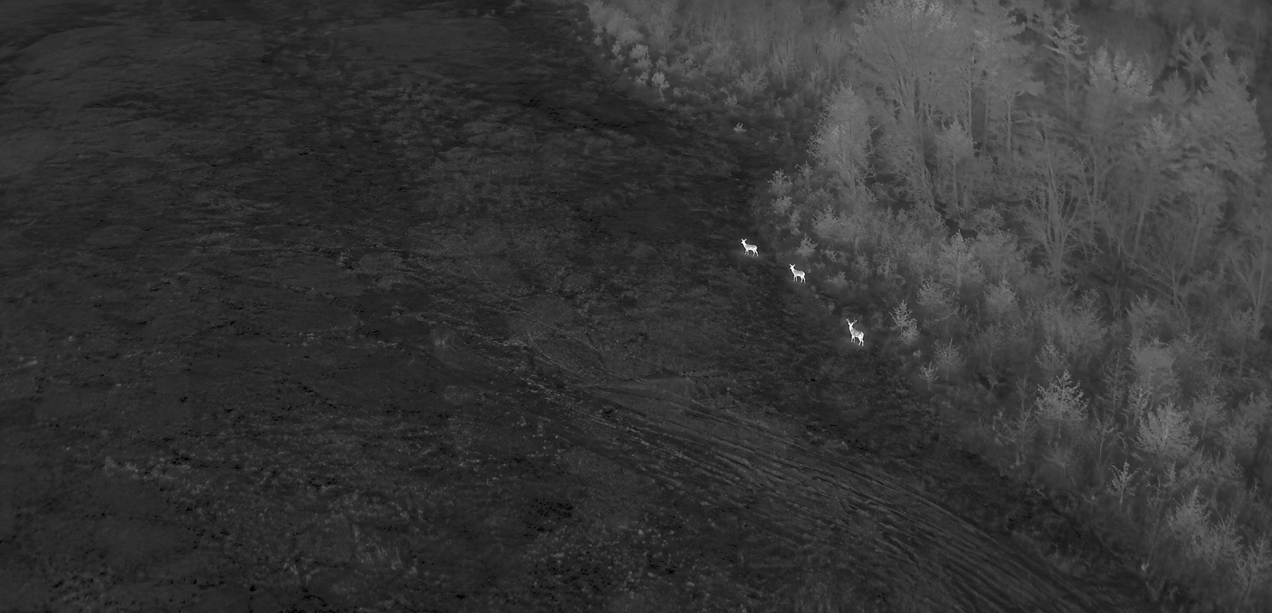
Thermal imaging can help identify heat signatures across fields, timber edges and difficult terrain. Search findings can be paired with GPS location and recovery guidance.
  • Fast response
  • Thermal aerial search
  • GPS location
  • Recovery guidance
Aerial white-hot thermal image showing deer near woods
More Than Recovery

Thermal Capabilities

01

Herd Surveys & Analysis

  • Deer counts
  • Buck-to-doe ratios
  • Population data
  • GPS mapping
  • Mature buck photos
02

Livestock & Pet Search

  • Lost livestock
  • Lost pets
  • Wide-area search
  • Rapid response
03

Thermal Inspections

  • Building inspections
  • Roof inspections
  • Electrical inspections
  • Heat-loss detection
Thermal visibility depends on weather, terrain, vegetation, temperature conditions and the circumstances of each search. No search outcome can be guaranteed.