
01 / THERMAL
Deer Recovery
Thermal aerial searches, GPS location and recovery guidance when time matters.
View thermal services →Advanced drone solutions for agriculture, wildlife, livestock and property across Central Arkansas and surrounding areas.
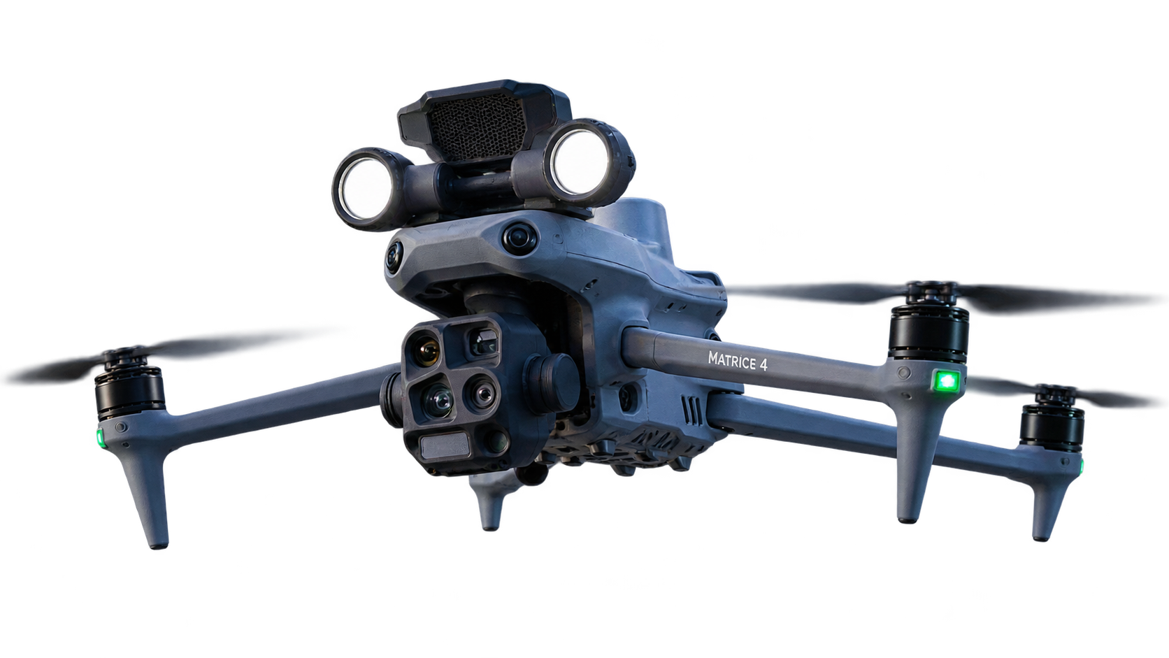
From time-sensitive thermal searches to efficient agricultural applications, every service is approached with careful planning, responsive communication and useful results.
Thermal aerial searches, GPS location and recovery guidance when time matters.
View thermal services →Deer counts, buck-to-doe ratios, population data, GPS mapping and mature buck photos.
View herd surveys →Aerial application, granular spreading, cover-crop seeding and targeted applications.
Scheduling for 2027 →Thermal technology helps cover difficult terrain efficiently and locate heat signatures that may be missed from the ground.
Purpose-built aerial application services for Central Arkansas farms, planned around field conditions, product requirements and application timing.